
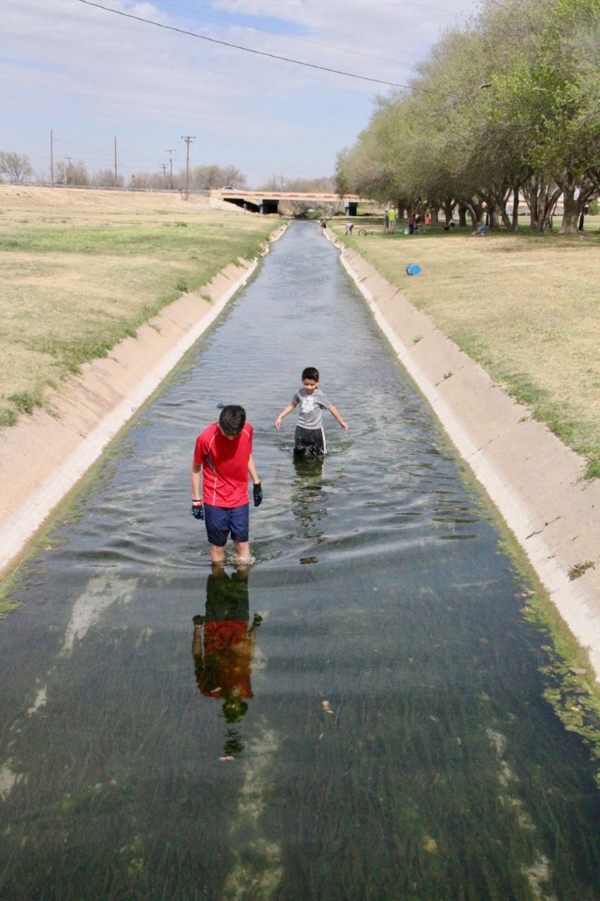
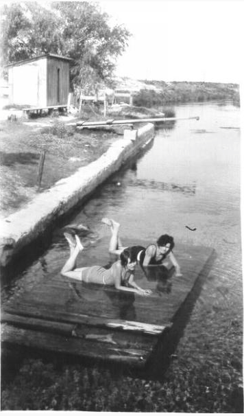
 Hunting for crawfish in the canal just downstream of the pool. The salt rim on the sides suggests a waning flow.
Comanche Springs (originally named Awache, Comanche for “wide water”) was a Comanche stop into and out of Mexico (and surely a pre-historic stop for water in a land where water is scarce). Later, the U.S. Army established Fort Stockton at the springs, which also sparked the town that eventually assumed the same name.
The springs consistently produced about 42 cubic feet per second, equivalent to about 30,000 acre-feet per year. Starting in 1875, farmers began diverting flows for irrigation just downstream of the springs. In 1938, Pecos County built a swimming pool and pavilion at the major springs. In 1947, in response to nearby pumping from newly installed irrigation wells, springflow began to steadily decline, failing for the first time in March of 1961.
By that time, about 100 families farming about 6,000 acres relied on the springs for their livelihood, so they sued the groundwater pumpers. However, due to a Texas Supreme Court case in 1904 that established the Rule of Capture for groundwater in the state, the downspring farmers lost when the Texas Supreme Court refused to hear their case and when the legislature refused to address their concerns. Rule of Capture states that you have the right to capture groundwater beneath your land and put it to beneficial use regardless of how your pumping affects your neighbors. Legal jousting has returned in recent years as locals debate how much water should be exported to far-away, thirsty cities.
Depending on how much pumping has occurred the year before and how early the farmers start pumping for the new growing season, the Comanche Springs gurgle to life and flow once again for several weeks to a few months in the spring. Visiting the flowing springs has been on my hydrologic bucket list for many years (I’ve seen them dry many a time), so when I heard last week that they had sprung to life, I hightailed it out to Fort Stockton to have a looksee.
I started at the upper springs (Blue Hole and Koehler SPrings), large seeps that were probably grand back in the day based on the concrete and stone curbs around them. The flows were not impressive, and, as a result, the concrete spring run was chocked with green slime. However, a healthy flow churned out of the pool into the canal, clearing the water with a vigorous flow.
I didn’t have a flowmeter with me (the weekend crept up quick…), but I did bring a tape measure to measure depth and had my watch to estimate the surface velocity of the flow. I calculated a flow of about 5 cubic feet per second (I cheeseballed this calculation while drinking part of a Becker Vineyards allocation I picked up on the way back home, so please check my work if you feel inclined: 36-inch diameter pipe filled to 16 inches with a surface velocity for water coming out of the pipe of 2 feet per second).
I traced the springflow downstream as far as I could and also visited the farms irrigated with groundwater.
Here’s a map of the springs from the book Fort Stockton:

 The uppermost flowing spring at Blue Hole.
 The second most uppermost flowing spring, Koehler’s Spring.
 Koehler’s Spring where it discharges to the canal. Not much discharge from these two springs.

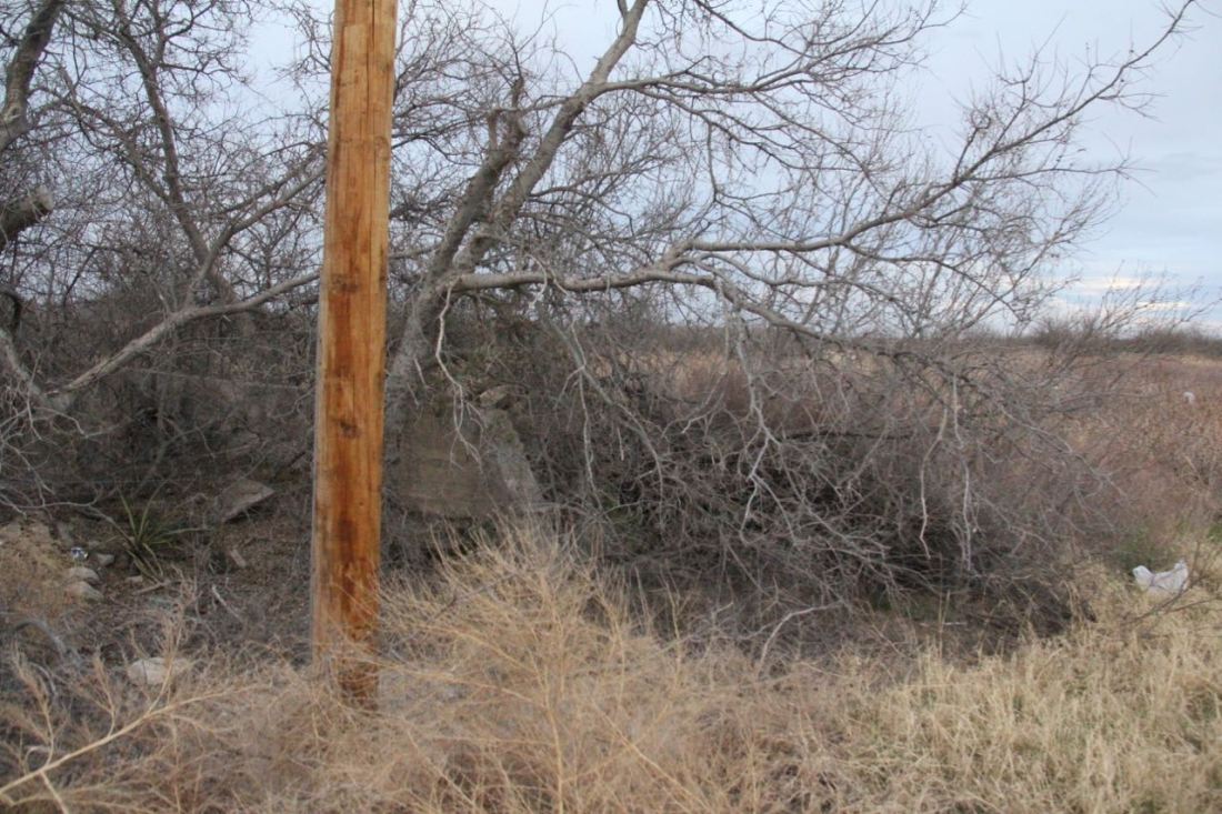
Upstream of the two uppermost springs, the canal is dry (although there was a wet spot in part of the canal (not shown).
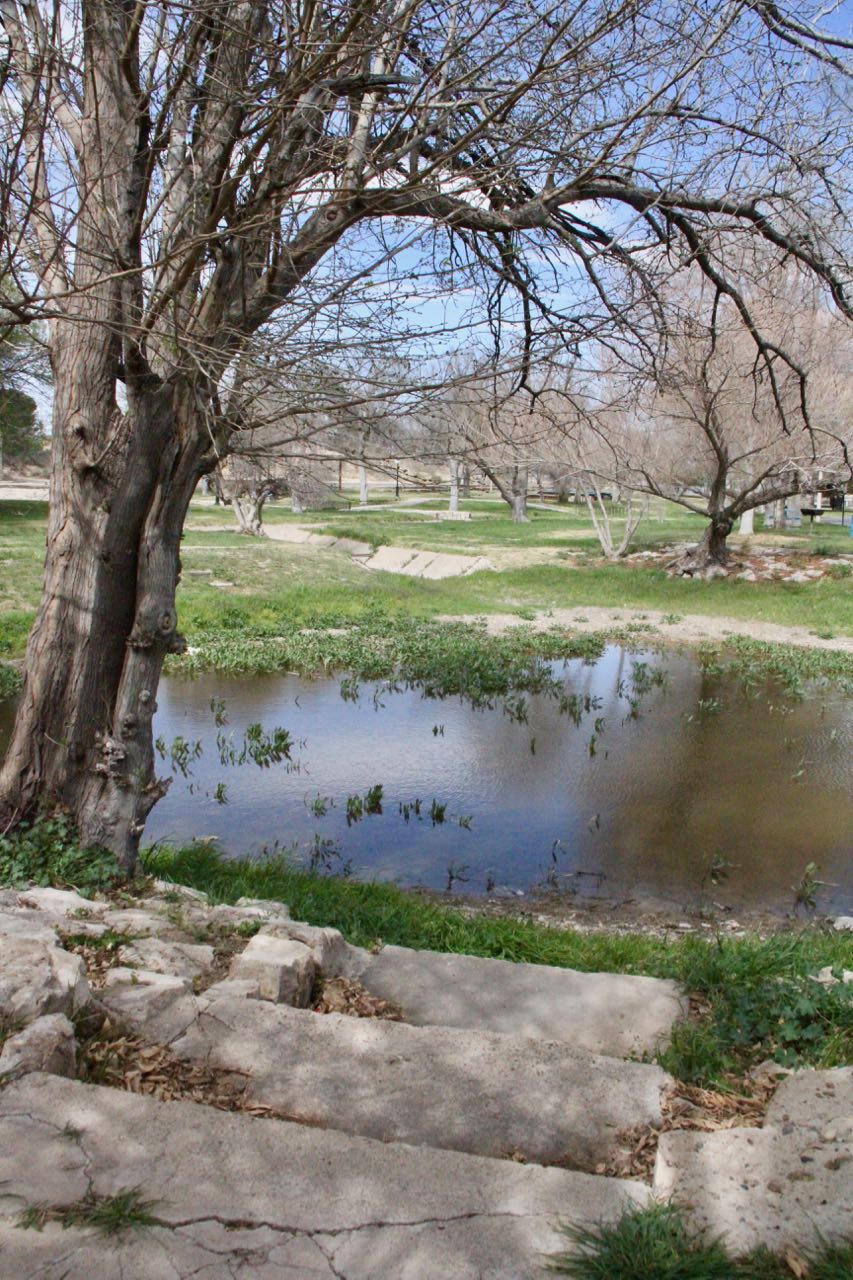
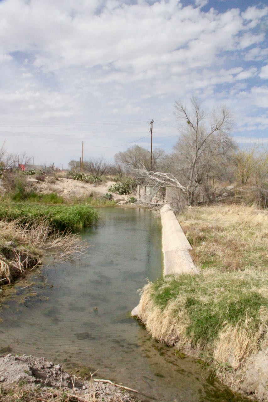
 Approaching the major springs at the pool. The water in the canal here is primarily backflow caused by a large discharge from the major springs.
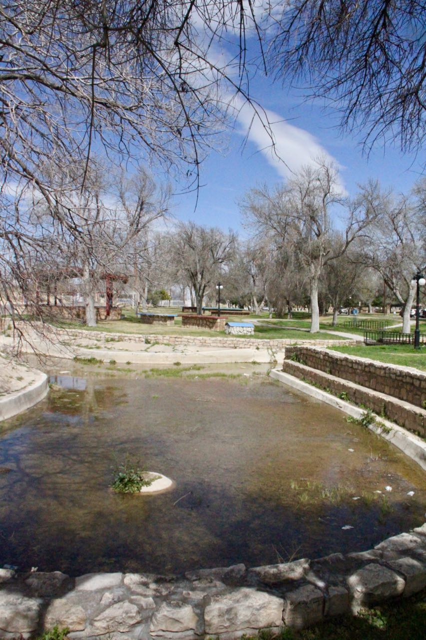
 Sadly, despite 90-degree temps, the pool was not open, so I took this shot peering over the fence. The caged shed center-left houses Big Chief Spring, which I could hear violently gurgling away at this distance. Government Spring, on the other side of the pool to the right, held no water nor emitted a sound. The swimming pool you see is a shell sitting atop an open vault on the sides and bottom to allow spring flow to flow out without damaging the pool. The county built the shell after the springs dried up in the 1950s.

A close-up of the caged Big Chief Spring, a photo I took a year ago November.
 Government Spring from a year ago November.

This pipe is where flow out of the pool springs discharges into the canal.

A number of folks were in the canal looking for crawdads. A family showed me their catch, some of which were 8 inches long.
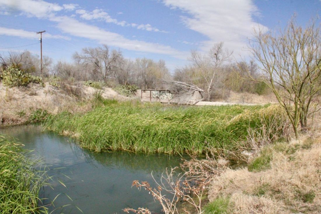 This is just downstream of Highway 285 where an old diversion dam directs flow into the old irrigation channel to the left and overflows to the right.
 This is the downstream side of the diversion channel, the concrete support fins slowly crumbling away.
 Someone has dug around the side of the overflow structure to prevent the water from backing up too much.
I tracked how far the flow was making it down the canal:
 This is the flow downstream of Highway 385. Right before I pressed “click”, several ducks enjoying the canal disembarked.
 This is the flow on the upstream side of the Interstate 10 frontage road, where the water dumped into a vault that runs underneath the highway in two directions.
 The flow emerges on the other side of Interstate 10 and appears to simply be discharged into Comanche Creek.
 Panning to the right. If you look closely on the right, you can see water pooling.
I wandered down the canals a little more to verify nothing was going any farther, and found them dry and abandoned:
 The “eastern” canal at 7 D Road looking downstream.
 The “western” canal (called the Highline Ditch in Google Maps) at Stone Road looking downstream.
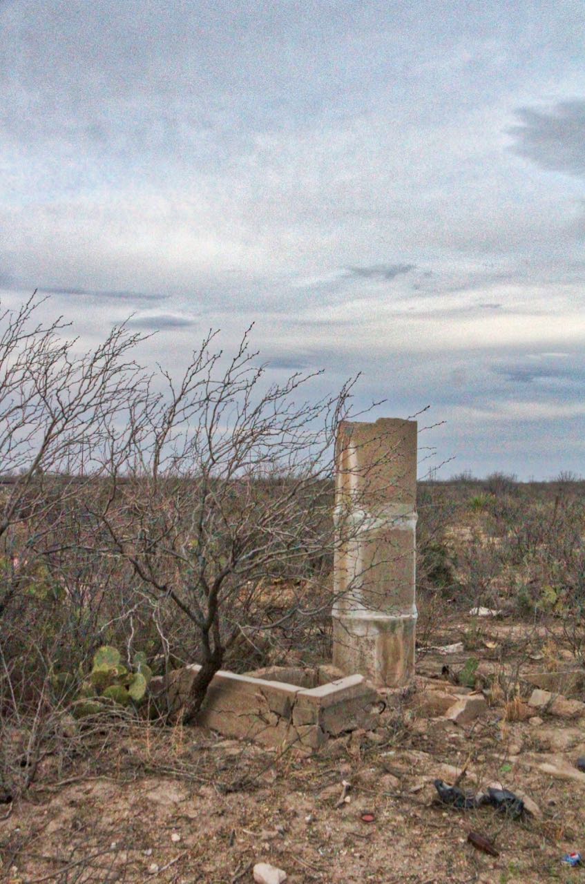 An abandoned standpipe off the “western” canal near Stone Road.
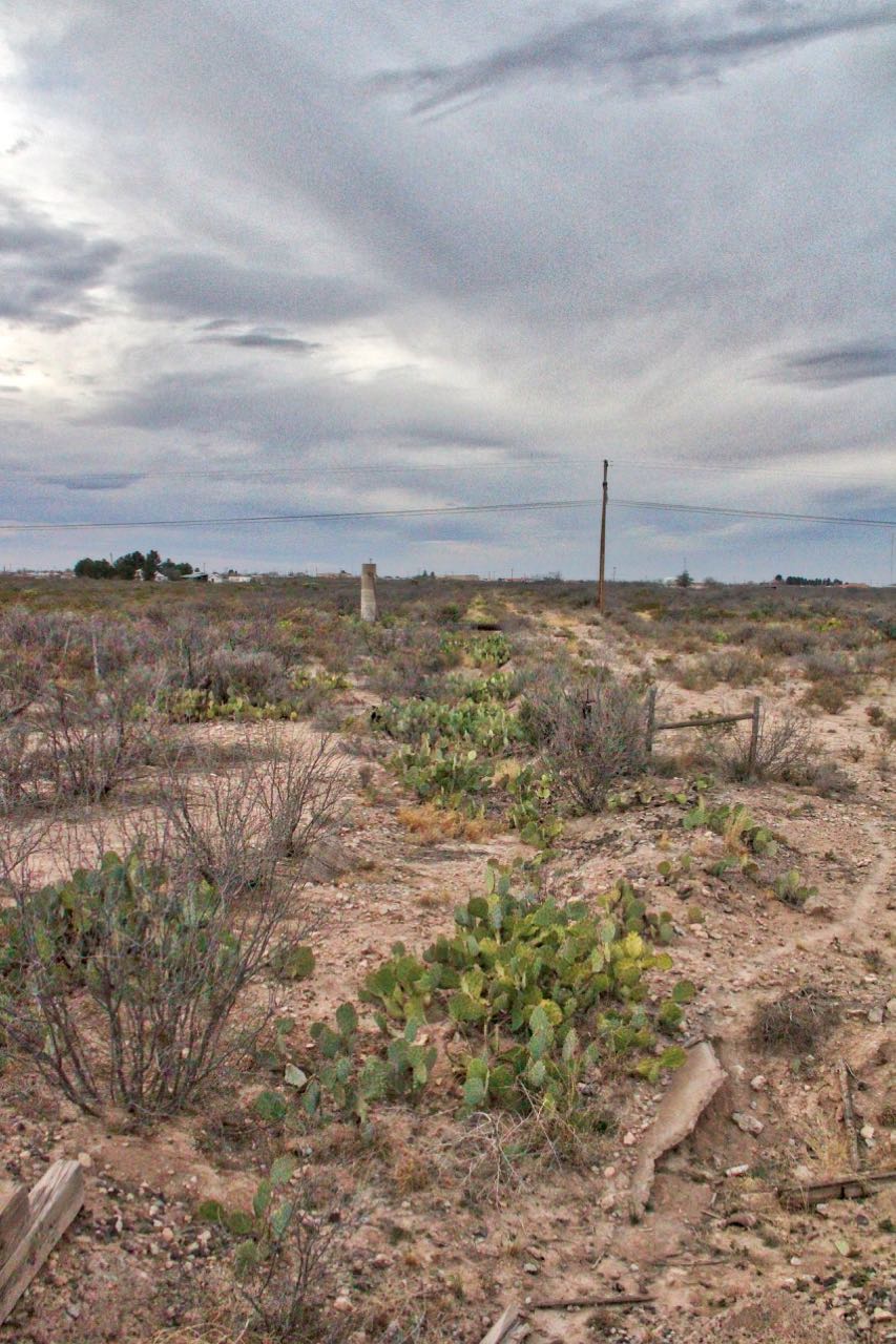
The “western” canal (called the Highline Ditch in Google Maps) at Stone Road looking upstream. You have to look closely (follow the pear…) to see the “canal”.
I also drove out to where the pumps run from the aquifer:
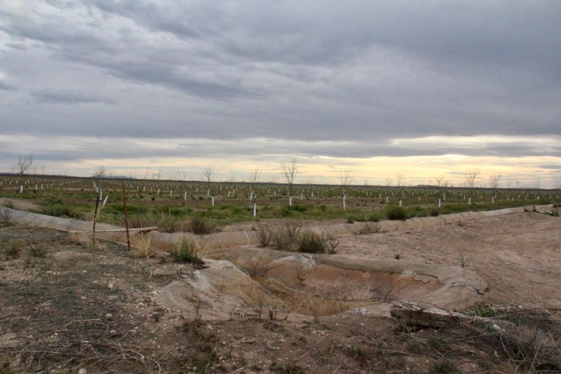 New pecan trees going in west of town.
It’s surprising, at least to me, how far out of town the groundwater pumping is, about five to six miles. I doubt anyone knew at the time that pumping out here would dry up the springs in Fort Stockton.
 Follow the green… The dark-green elongated spot on the east side of Fort Stockton is Comanche Springs; all the green on the left side of the image are the irrigated farms whose pumping dried up the springs.
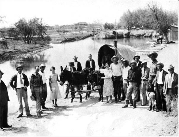
And now for some historical shots!

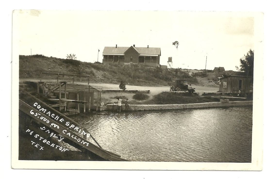
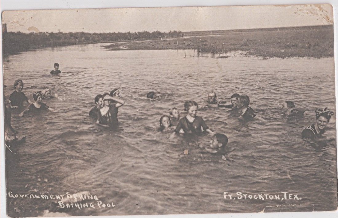
The springs used to be called Government Springs. This is probably from around 1910.


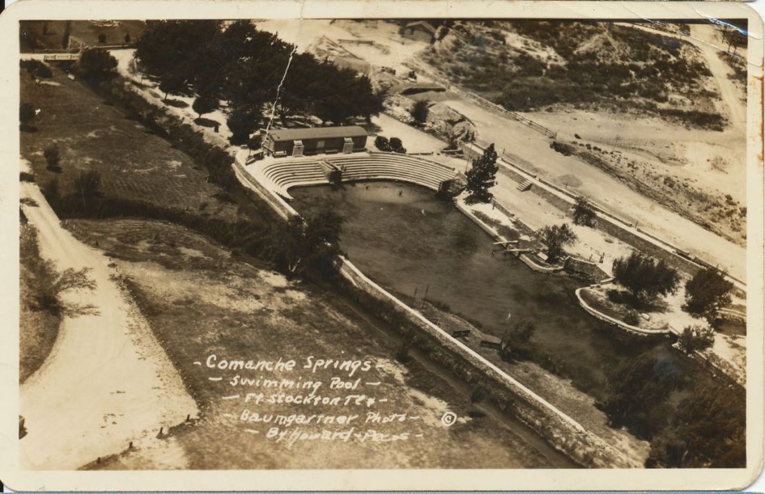
This is a pre-pavilion aerial of the springs showing the natural bottom of the pool. On the far side is the old changing rooms.
A different view.
A close-up of the old changing rooms and one of the springs (caged even back then).

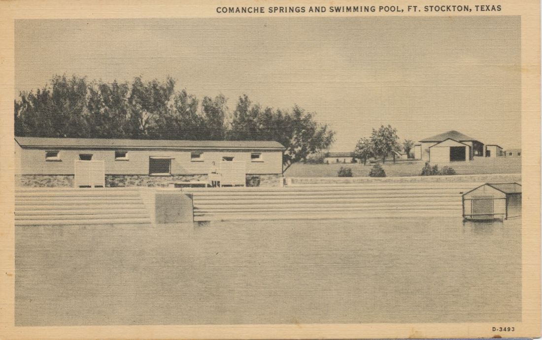
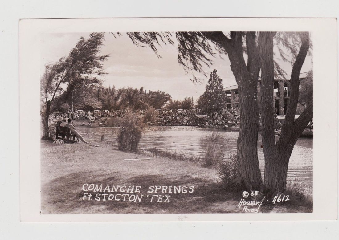
Here’s a postcard showing the new pavilion with the old changing rooms demolished. You can also see Big Chief Spring. Note how the stairs on the left descend to the water.
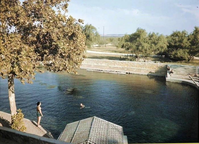
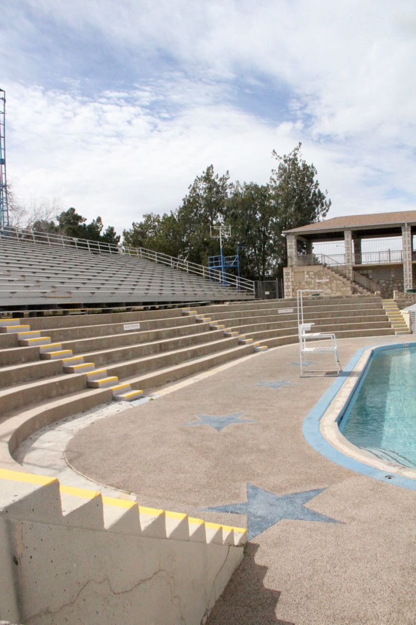 Here’s a photo I took yesterday where you can still see the stairs, but now they descend to a deck. Below that deck is a cavity to allow the episodic spring flow to escape and to have a non-springfed swimming pool.

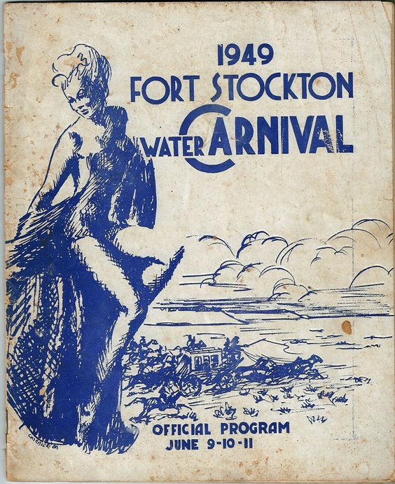
The arrow points at Big Chief Spring. Towards the center-bottom is a stage being built (or torn down) for Fort Stockton’s annual Water Carnival.


That is a great summary Robert! Thank you for sharing. I’ve stopped by nearly every time I head west and have never seen them flow. I love the map you found too! From that map perhaps the TWDB folks can adjust the well/spring database location–they have one spring that is perhaps meant to be Big Chief that looks way off. Maybe they can add the other spring locations based on the map? Also, maybe someone can sample the springs for ions and perhaps isotopes (C14 and Tritium)? It was last sampled for ions in 2006. Know anyone at the TWDB that could do all that;) ?
LikeLike
Interestingly, a marker at the pool incorrectly places Big Chief at Government Spring. I hear you on the locations; I’ve seen similar things at San Marcos Springs with the area wells.
Interestingly, the water quality wasn’t that great to begin with (total dissolved solids of ~1,400 ppm) and has decreased since the springs have failed most of the time (1,700 to 2,500 ppm with a high of 4,700 ppm).
LikeLike
Seeing these pictures brings back vivid memories. i have seen the area in just about every stage the pictures depicted. I grew up with them. For several years my father was the director of Pecos Co. Water District # 1. That was the only one. They worked diligently to put a legal stop to prevent this from happening and took it all the way to the Texas Supreme Court. They lost the case and Ft. Stockton lost one of the beautiful water features in the state of Texas.
George Crone
LikeLike
That’s my hometown! Thanks for your usual eloquent curiosity.
LikeLiked by 1 person